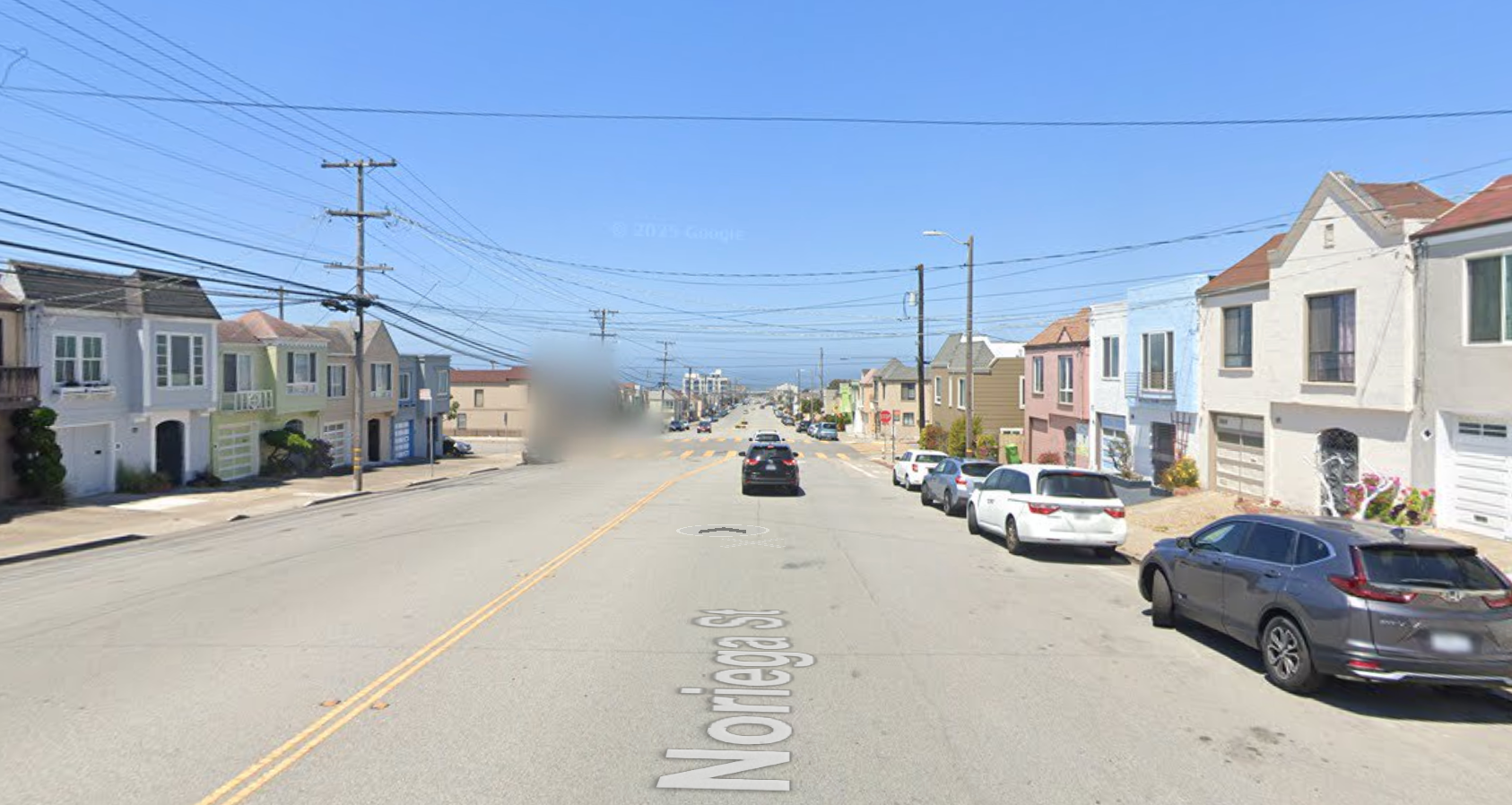
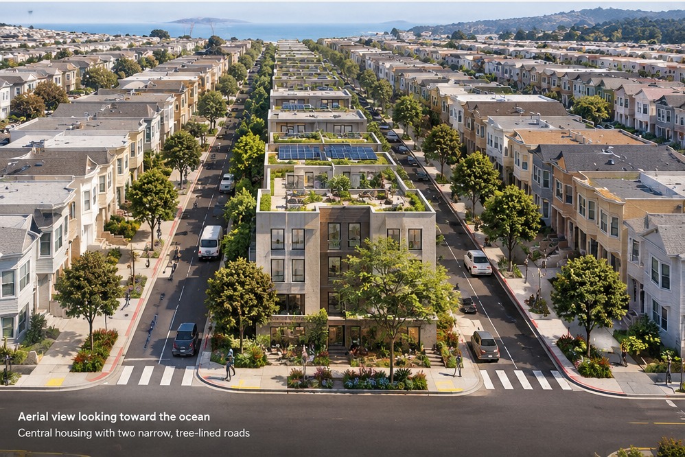
One street.
A new neighborhood.
San Francisco already has a 14-foot-wide residential street: Chula Lane. What if we gave a wide Sunset street two similarly narrow lanes and built housing in the middle?
For an actual documented width, a City survey identifies Moraga Street between 7th and 8th Avenues as 80 feet wide. This is an Inner Sunset example, not a claim about every Outer Sunset street. Chula Lane's 14-foot width is from the 2021 SF Chronicle street-width study. Both figures refer to the street right-of-way, not just the vehicle lanes.
A spatial thought experiment—not an engineered circulation plan. Each 14-foot lane would need to accommodate pedestrians, access, deliveries and emergency response. Current standards generally require wider rights-of-way for new streets; approvals and exceptions would be necessary.
Think Paris.
Think Kyoto.
Think Sunset.
Quiet shared lanes, small front doors, trees, bikes, conversations between neighbors. A street that feels like a place, not a traffic corridor.
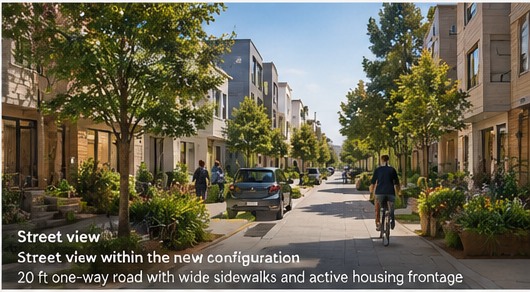
Concept art only; not an accurate depiction of Moraga Street or a construction-ready 14-foot design.
Homes instead
of unused potential.
Suppose a future project delivered 200 homes at an average value of $1 million each. Here's the scale of the possibility.
The cost of roughly 10 fully loaded teacher positions at $200,000 each.
This comparison shows scale, not earmarked money. California property taxes are distributed to different agencies, and actual incremental revenue depends on assessed values, allocation formulas and other taxes. The 200-home figure has not been demonstrated to fit or pencil on the cited Moraga Street segment. The value comparison excludes substantial construction and infrastructure costs.
Why settle for
the street we inherited?
We don't have to copy Paris or Japan. We can borrow what makes their best neighborhoods work—human scale, comfortable walking, and buildings that put life directly on the street—and make it distinctly San Francisco.
A real pilot would begin with surveying a specific block, studying ownership and utilities, confirming emergency access and sunlight, and modeling realistic unit counts and public costs.