One-way network
Click a segment for the street name. Zoom in for travel arrows. Districts and schools are optional.
Source.
Streets,
2022 supervisor districts,
and schools from DataSF.
Streets are kept if they are a throughway, a freeway, or OpenStreetMap secondary or larger.
Blue schools are within three blocks of a one-way.
Two-way again
Some pairs already went back. The red streets on the map are next.
Completed / studied
- Eddy and Ellis Mostly done. The 2007 Tenderloin–Little Saigon Neighborhood Transportation Plan named Eddy/Ellis and Leavenworth/Jones as candidates. The Board of Supervisors urged SFMTA to convert Eddy and Ellis (Resolution 620-07). West of Leavenworth and Jones went two-way in 2012. More of Eddy followed in 2019. East of that, they are still one-way. Jones and Leavenworth were not converted.
- Hayes, Fell, Haight, McAllister Done on local blocks next to Octavia. Two-way Hayes (Gough to Van Ness), Fell (Van Ness to Franklin), Haight from Octavia to Market, and McAllister. Oak/Fell and Gough/Franklin as a system are still one-way. SPUR, 2011.
- Folsom and Howard Studied. Still one-way. Eastern Neighborhoods TRIPS and the Central SoMa Plan EIR both tested a two-way option. EN TRIPS preferred two-way. The built streetscape project kept them one-way and added bike lanes.
- 7th and 8th Studied. Kept one-way. SFMTA recommended one-way with fewer lanes and cycle tracks, so signals could still progress traffic. See the 7th Street & 8th Street Safety Projects.
- The whole network, on paper Model only. Not a project. Geoff Boeing and William Riggs simulated converting every San Francisco one-way to two-way. Intra-city trips are about 1.7% longer on the current network — about 27 million extra kilometers a year. Boeing & Riggs, 2022/2024.
Up next
The red streets. No conversion is underway.
- 14th and 15th Mission and Castro. Still one-way. No city study to convert the pair.
- Jones and Leavenworth Named in the 2007 Tenderloin plan with Eddy and Ellis. Still one-way.
- Taylor and Mason The next pair east of Jones. Still one-way. No conversion study.
- Post and Sutter The downtown couplet. Still one-way. No city study to convert the pair.
- Washington Chinatown and Nob Hill. Still one-way. No conversion study.
- Turk and Golden Gate Tenderloin and Western Addition. Still one-way. No conversion study for the pair.
Eddy/Ellis and Leavenworth/Jones: SFCTA Tenderloin–Little Saigon plan, 2007.
Folsom/Howard two-way option: EN TRIPS and the Central SoMa Plan EIR.
7th/8th: SFMTA corridor study, recommended one-way retained.
Hayes/Fell two-way: SFMTA Board approval, 2011, under the Market and Octavia Plan.
Citywide distances: Boeing, G., & Riggs, W. (2024). Journal of Planning Education and Research. Preprint: arXiv:2204.10944.
New neighborhood freeway teardowns
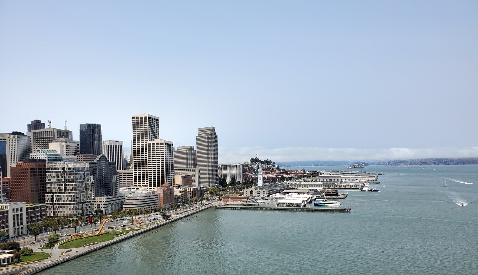
Octavia replaced the Central Freeway through Hayes Valley. The Embarcadero replaced the waterfront freeway. Two elevated roads are left. Take them down. New neighborhoods, not ramps.
1. A new neighborhood and more housing versus big box stores and a freeway
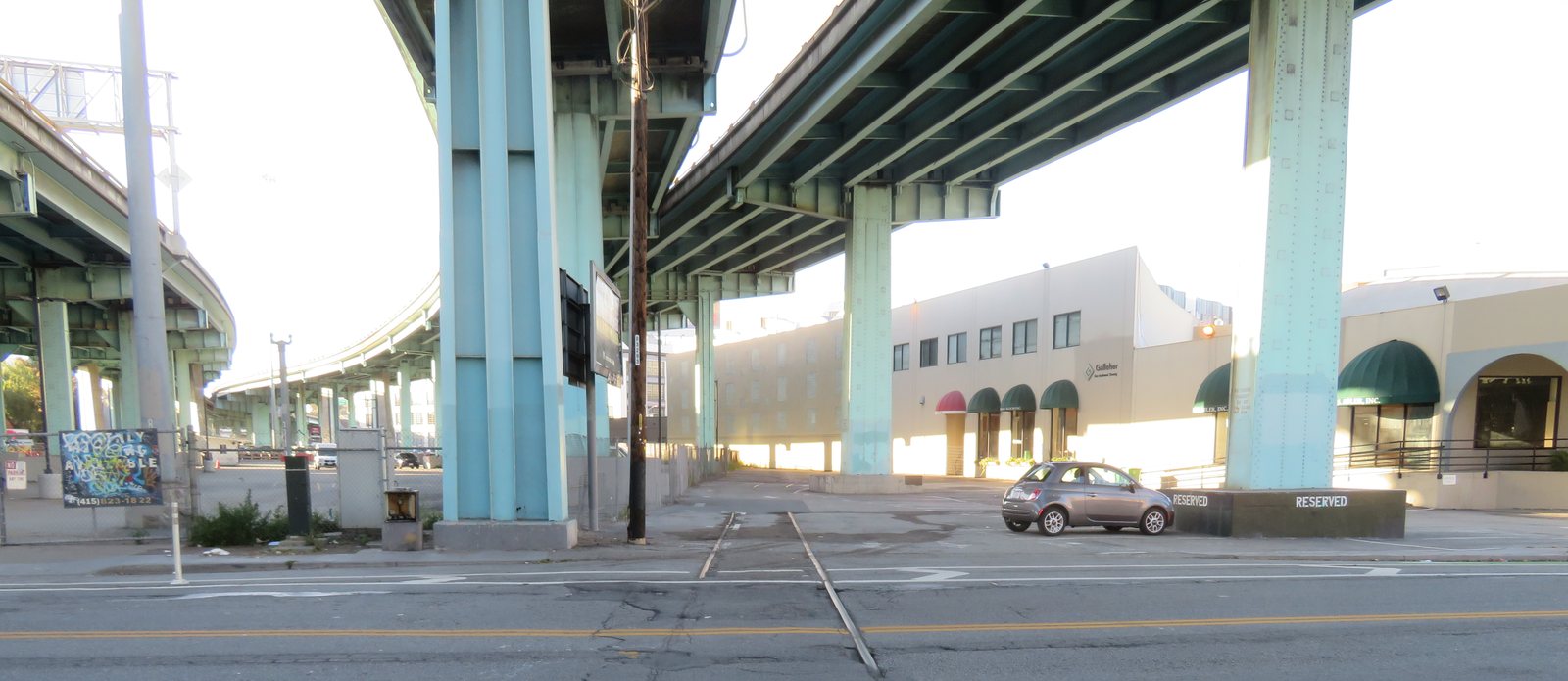
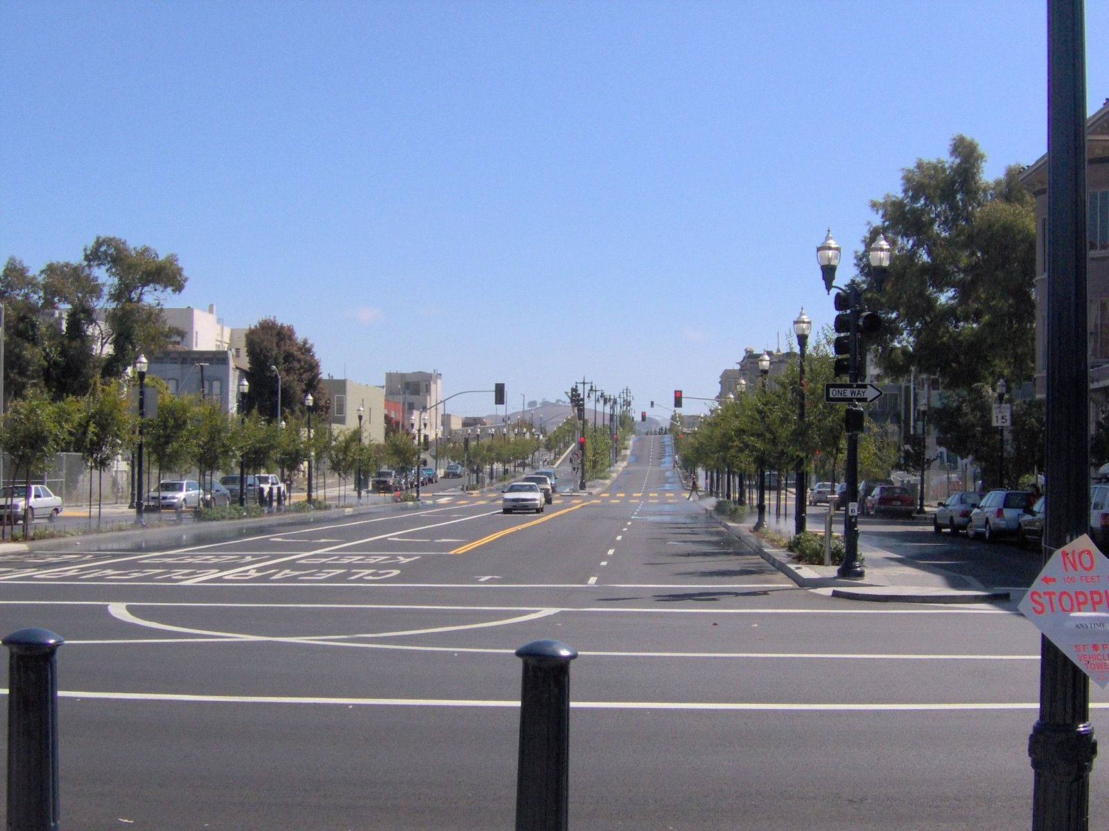
Voters replaced the Hayes Valley spur with Octavia Boulevard in 2005. The elevated Central Freeway still runs from US 101 to Market. Finish the job: a surface boulevard on that remaining mile.
2. Let Mission Bay integrate with the city
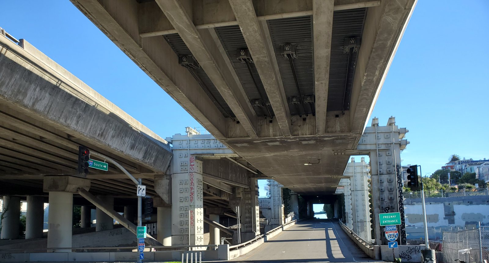
The last 1.2 miles, north of Mariposa, still hang over Mission Bay and SoMa. The city studied a boulevard here, the same move as the Embarcadero.
Octavia: voters approved a boulevard in place of the Hayes Valley spur; it opened in 2005.
The Embarcadero Freeway was demolished in 1991; the boulevard was finished in 2000.
The remaining Central Freeway is the elevated link from US 101 to Market / Octavia.
The I-280 stub north of Mariposa was studied as a boulevard in the city’s Rail Alignment and Benefits / I-280 Boulevard work (about 1.2 miles).
Neither takedown is an adopted project.